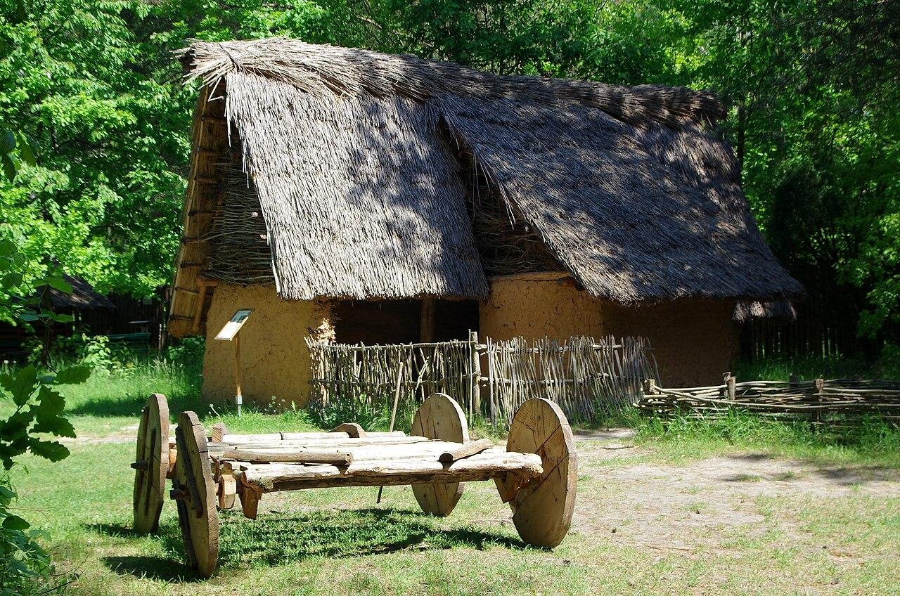
Archaeological work on Gawroniec Hill in south-central Poland has documented several thousand traces of past human activity, including a defensive ditch unknown before recent surveys. Gawroniec Hill lies in the Świętokrzyskie Voivodeship and forms part of a Neolithic mining settlement linked to large-scale flint production. Research shows long-term reshaping of the hill through repeated human actions rather than natural change.
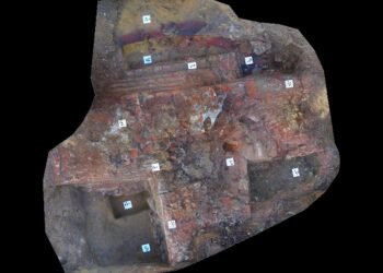
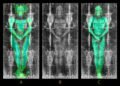
The project involved the Historical and Archaeological Museum in Ostrowiec Świętokrzyski working with the Relicta Foundation. Researchers focused on an area of about 7.5 hectares within the municipality of Ćmielów. Airborne laser scanning, known as LiDAR, combined with magnetic surveys allowed mapping of buried features across the slope and plateau. After removal of modern interference, the dataset revealed an unusually dense pattern of archaeological remains.
Settlement pits and industrial features appear across much of the surveyed zone. In several areas, density reaches close to 100 features per hectare. Such figures point to sustained and intensive use of the site over long periods. Earlier excavations and new geophysical results still fail to outline clear house plans. Daily activity at Gawroniec Hill appears focused on production and processing rather than domestic architecture.
One of the most notable results comes from the southwestern part of the hill. Survey data revealed elongated anomalies running for nearly 100 meters and reaching up to five meters in width. Shape and position match expectations for a defensive ditch. Placement at the easiest access point to the plateau suggests control over movement into the settlement during periods of heavy activity.
Digital terrain models provide further context. Terraces, depressions, and sharp cuts form a geometric landscape shaped by overlapping actions across thousands of years starting in the Neolithic. Near the base of the hill, traces of raw material extraction appear. Evidence points toward removal of clay or building stone for local use.


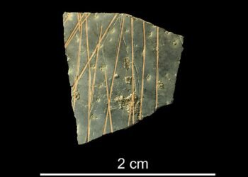
During the late Neolithic, Gawroniec Hill played a central role within regional flint networks. Strong links connected the settlement with striped flint sources at Krzemionki and Świeciechów. Raw stone moved from nearby mines to Gawroniec for processing. Finished tools then spread across Lesser Poland. Finds located hundreds of kilometers from the mining zone support wide circulation of such products.
Comparison of terrain models created after 2010 shows steady surface loss. Natural erosion combines with agricultural activity, leading to gradual damage of exposed features. Researchers stress the need for a protection plan tailored to settlement remains rather than mining shafts alone.
Gawroniec Hill belongs to the wider cultural landscape associated with prehistoric striped flint mining, added to the UNESCO World Heritage List in 2019. This listing includes the Krzemionki Prehistoric Striped Flint Mining Region, Poland’s only archaeological entry on the list.
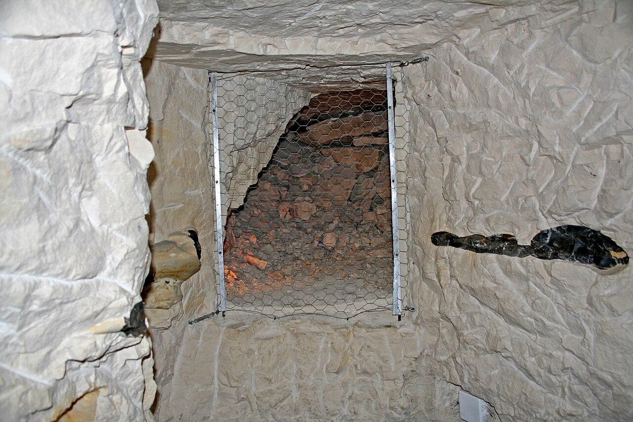
The Krzemionki mining complex, first recorded in 1922, includes around 4,000 shafts dated to the Neolithic and early Bronze Age, roughly 5,000 years ago. Shafts reach depths of up to nine meters and follow chamber mining methods. Striped flint tools traced as far as 660 kilometers from Krzemionki show the scale and reach of production linked with sites such as Gawroniec Hill.
More information: Science in Poland


Disclaimer: This website is a science-focused magazine that welcomes both academic and non-academic audiences. Comments are written by users and may include personal opinions or unverified claims. They do not necessarily reflect the views of our editorial team or rely on scientific evidence.
Comment Policy: We kindly ask all commenters to engage respectfully. Comments that contain offensive, insulting, degrading, discriminatory, or racist content will be automatically removed.