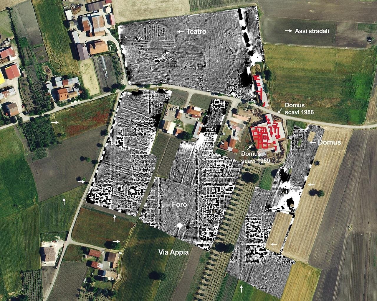
Archaeologists working at the Roman site of Fioccaglia in Flumeri, in the province of Avellino, have mapped a forum and a previously unknown theater along the Appian Way. The results redefine the scale of the settlement and confirm its importance within Rome’s road network.
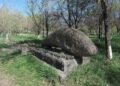
Via Appia, known in antiquity as the Regina Viarum, crossed this part of inland Campania and connected Rome with southern Italy. Today the road holds UNESCO World Heritage status. Fioccaglia stands near the junction of the Ufita River and the Fiumarella stream, a position that gave the town strategic value in antiquity. Some scholars identify the site with Forum Aemilii, a center dating to the second and first centuries BCE and linked to the Roman expansion into Irpinia. The nearby Via Aemilia was commissioned in 126 BCE by the consul Marcus Aemilius Lepidus.
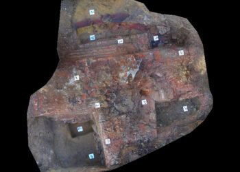
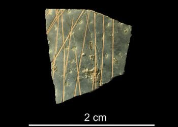
Excavations in the 1980s uncovered a paved decumanus and a large domus decorated in the First Pompeian Style. Those finds pointed to an organized town with wealthy residents. The new campaign has expanded that picture.
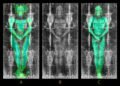
The project, directed by Giuseppe Ceraudo of the University of Salento, worked with the regional Superintendence of Archaeology, Fine Arts and Landscape and the Municipality of Flumeri. Researchers used aerial drone surveys and remote sensing to detect buried structures without excavation. The images revealed an orthogonal street grid with regularly spaced axes and insulae, a layout typical of planned Roman foundations.
At the center of the grid, archaeologists identified the forum. The surveys traced a large rectangular square bordered by public buildings. This space served as the civic and commercial heart of the city. Nearby, the team detected the curved outline of a monumental theater. No earlier excavation had recorded this structure. Its size and placement suggest an urban community with social and cultural institutions, not a small roadside stop.

The new data confirm that Fioccaglia functioned as a fully developed town equipped with representative public architecture. The combination of forum, theater, paved streets, and elite housing points to a settlement integrated into Rome’s political and economic system during the late Republic. The findings also strengthen the link between the town and the major transport routes that shaped movement across southern Italy.
Officials from the Superintendence stated that cooperation between academic research and heritage protection has laid the groundwork for a new management plan for the area. Local authorities in Flumeri have expressed support for further study and public access, especially as infrastructure projects such as the Hirpinia High Speed Railway Station progress in the Ufita Valley.
In the coming months, the team plans additional noninvasive surveys to confirm the mapped structures and refine the urban plan. Each new dataset adds detail to the history of a city that once stood at a key crossroads of Roman Italy.


Disclaimer: This website is a science-focused magazine that welcomes both academic and non-academic audiences. Comments are written by users and may include personal opinions or unverified claims. They do not necessarily reflect the views of our editorial team or rely on scientific evidence.
Comment Policy: We kindly ask all commenters to engage respectfully. Comments that contain offensive, insulting, degrading, discriminatory, or racist content will be automatically removed.