Archaeologists working with the National Trust have uncovered two previously unknown Roman villas near the ancient city of Wroxeter, England. This significant find came from the largest geophysical survey ever conducted by the National Trust, covering over 1,000 hectares (2,471 acres) at the Attingham Estate in Shropshire.
Wroxeter, known in Roman times as Viriconium Cornoviorum, was a major center in Roman Britain, established initially as a frontier post by Publius Ostorius Scapula. The city, at its height, spanned 173 acres and housed over 15,000 inhabitants. Past excavations at Wroxeter have revealed an array of public buildings including baths, temples, a basilica, and a colonnaded forum.
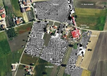
The recent survey was commissioned by the National Trust and conducted by Magnitude Surveys. Geophysics, a non-invasive method that detects subsurface features and anomalies, was used extensively. This technique allowed archaeologists to explore vast areas quickly, providing a comprehensive map of the hidden archaeological treasures beneath the Attingham Estate.
Among the most notable discoveries were two rural Roman villas, characterized by their distinctive floor plans with internal room divisions and outbuildings. These villas, equivalent to large country estates, show evidence of at least two phases of construction or occupation. They likely featured hypocausts (underfloor heating systems), painted plaster, and mosaic floors. Janine Young, National Trust Archaeologist noted that only six other Roman villas are known in Shropshire.
“This new geophysical survey has really transformed our knowledge by establishing a comprehensive ‘map’ of what is below our feet, providing us with a fascinating picture of the estate’s hidden past, revealing previously unknown sites of importance,” said Young.
The survey also uncovered a Roman roadside cemetery, several Roman roads to the west of Wroxeter, and eight ditched enclosures from the Iron Age, which are believed to be small farmsteads that possibly supplied food to the city. Additionally, features associated with a previously known Anglo-Saxon Great Hall complex were detected, as well as evidence of the World War Two airfield, RAF Atcham.
Alice Collier, National Trust Project Manager said: “Having this detailed knowledge of the way the land has been used in the past is directly informing our plans for how the land could best be used in the future for the benefit of nature and people.”
The Attingham Estate encompasses part of the buried city of Wroxeter, which is managed by English Heritage. The geophysical survey’s findings are expected to significantly enhance the understanding of settlement activity in the area during Roman times and contribute to future archaeological research and conservation efforts.
English Heritage described the survey results as exciting and anticipates further excavations to build on the newfound knowledge about Wroxeter.
The use of innovative ground-scanning technology, which records subtle changes in the local magnetic field, was pivotal in these discoveries. This method allows large areas to be surveyed swiftly and non-invasively, highlighting buried features with different magnetic properties from the surrounding soil.
Janine Young added: “We’ve seen tantalizing hints of these remains over the years with evidence showing up in cropmarks, aerial imagery, and through small surveys and excavations. But until now, what lies beneath the surface of the ground has never fully been investigated.”


