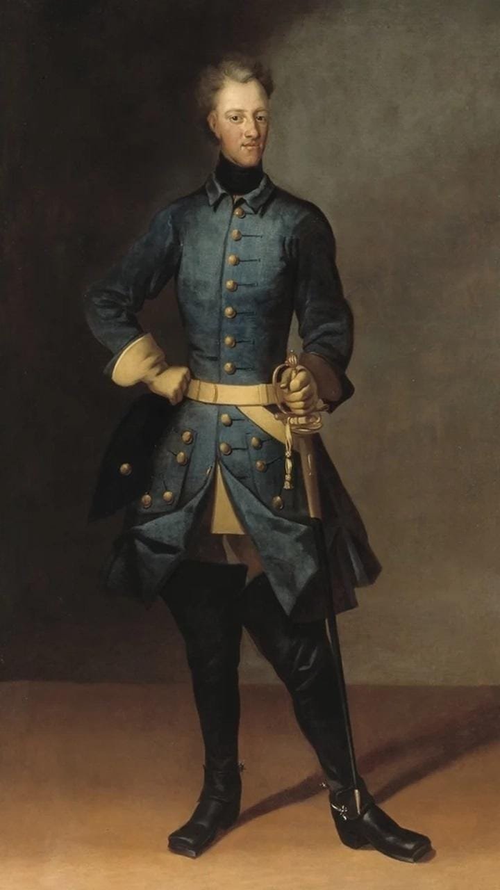
Archaeologists from the Norwegian Institute for Cultural Heritage Research (NIKU) have uncovered traces of the hidden Galärvegen route. King Charles XII of Sweden used this path to move war galleys over land in 1718.

This discovery, made with help from Bohusläns Museum, the Vienna Institute for Archaeological Science (VIAS), and Arkeologerna, gives us new insights into one of Sweden’s boldest military moves during the Great Northern War.
In 1718, Sweden’s King Charles XII came up with a bold plan to transport twelve big warships, each weighing up to 30 tons, overland from Strömstad to Iddefjorden. This operation is known as Galärvegen or the “Galley Road.” It was part of an attempt to surprise the Fredriksten Fortress at Halden, Norway. The fortress, a key military stronghold on the border, had successfully repelled previous Swedish attempts to capture it. By moving his ships over land, Charles XII hoped to bypass a blockade at the fjord’s entrance and launch a surprise attack from the sea.
The scale of this operation was huge: 800 soldiers worked hard to move the galleys across 25 kilometers of tough land. They used pulleys, hoists, blocks, horses, and greased logs to complete the operation. Moving such big ships was hard, but they did it really well.
Researchers found Galärvegen in December 2024 during a georadar project at Blomsholm in Bohuslän Sweden. The team started by looking for signs of prehistoric settlements and old ship settings. But when they used the new AutoMIRA georadar system, they uncovered evidence of the 1718 transport route. The georadar showed several parallel straight structures, which experts think are the remains of timber logs. Workers put these logs down to stabilize the ground for the heavy galleys. These traces stretch over 160 meters.
Erich Nau, the archaeologist who leads the project, shared his excitement about the find: “This spot gives us a unique look at old landscapes, but discovering a hidden historical route was beyond our expectations. The survey revealed clear traces of the Galärvägen (Galley Road) from 1718, which is undoubtedly one of the most exciting finds from this investigation.”
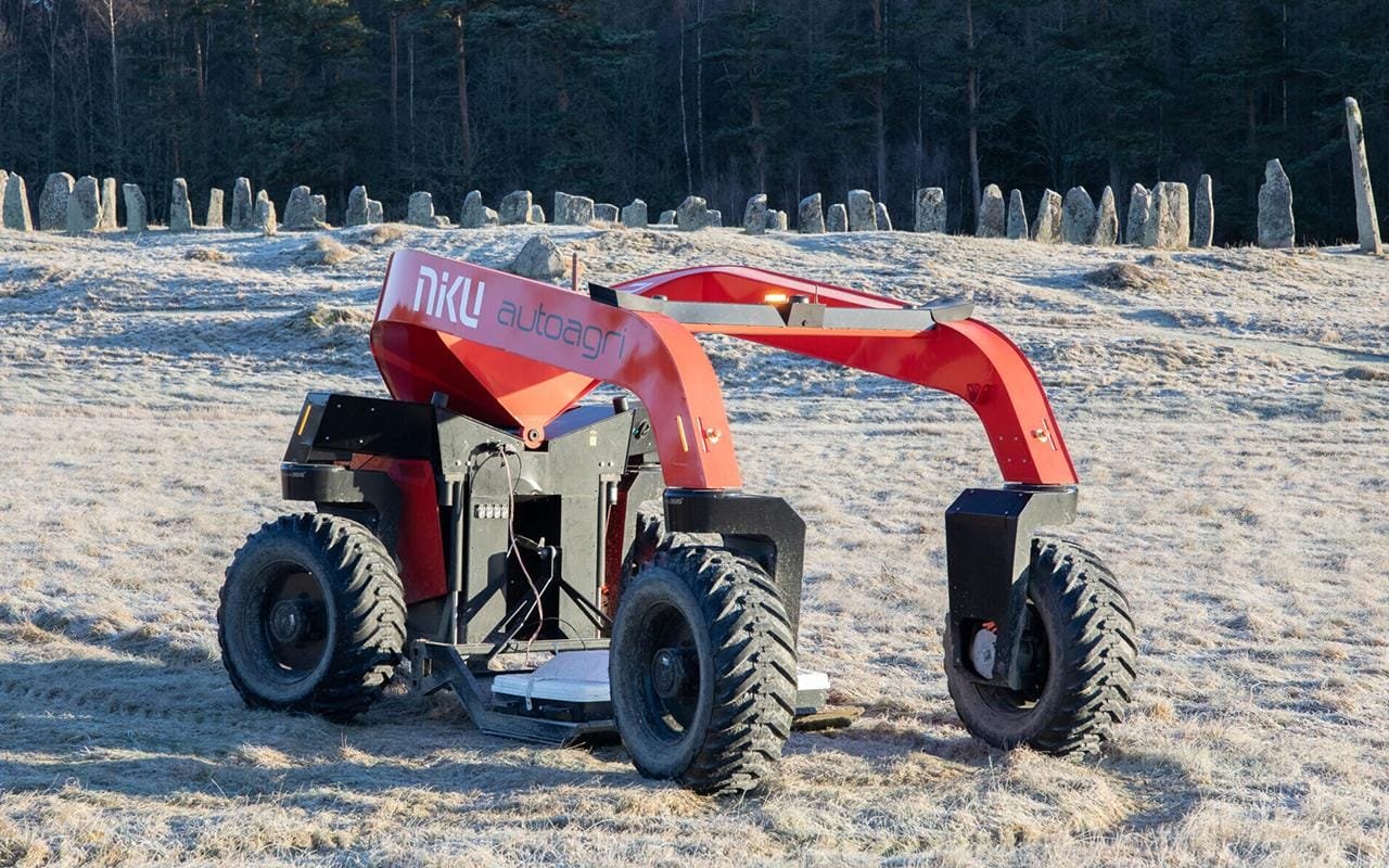
The AutoMIRA system was developed by NIKU working with AutoAgri. Built to cover large areas well, the system allowed researchers to survey 8.5 hectares in just three days. The system uses autonomous radar to capture clear, detailed data. This helped the team do big, fast, and exact surveys much better.
Roger Nyqvist from Bohusläns Museum said: “The discovery of Galärvägen allows us to combine historical sources with modern technology to explore and share significant parts of our shared cultural heritage.”
The georadar survey also revealed other historical elements at Blomsholm such as prehistoric burial mounds and signs of ancient settlements. The site had earlier been a field hospital during Charles XII’s campaign, and nearby several soldiers were laid to rest. These discoveries make it harder to interpret the data, as centuries of human activity have altered the landscape.
While experts continue to analyze the data, finding Galärvegen is a significant step forward for both archaeology and georadar technology. The AutoMIRA system is expected to have a major impact on how researchers conduct large-scale surveys, allowing them to uncover hidden historical sites more quickly.
More information: Norwegian Institute for Cultural Heritage Research






Disclaimer: This website is a science-focused magazine that welcomes both academic and non-academic audiences. Comments are written by users and may include personal opinions or unverified claims. They do not necessarily reflect the views of our editorial team or rely on scientific evidence.
Comment Policy: We kindly ask all commenters to engage respectfully. Comments that contain offensive, insulting, degrading, discriminatory, or racist content will be automatically removed.
I think it´s worth mentioning that the ingeniurs who made this was the brilliant Cristoffer Polhem together
with his assistent Swedenborg.