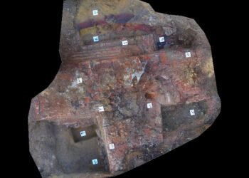
A recent study led by Prof. Dr. Santi Pailoplee from Chulalongkorn University has revealed the existence of an ancient city beneath the historic center of Nakhon Ratchasima, in northeastern Thailand. The discovery, based on aerial photographs taken in the 1950s, suggests that an extensive four-sided earthen embankment, which would have surrounded a lost city, may have existed before the city’s known history.
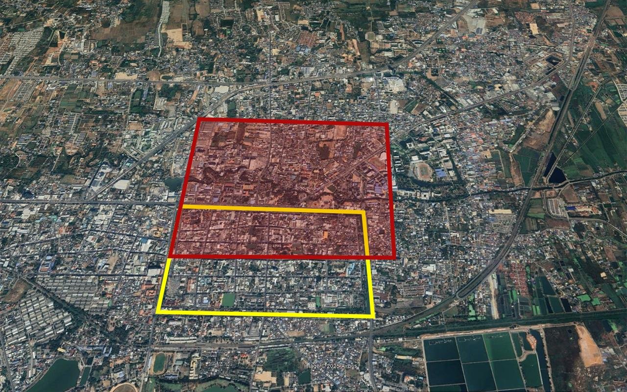
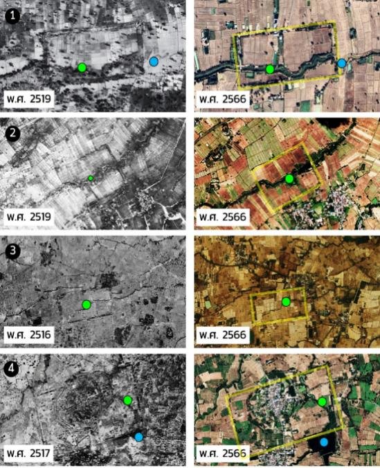
Prof. Dr. Santi Pailoplee and his team conducted research on this as part of a project called “Synthesis of Geoinformation and Statistics on Ancient Moats in Northeastern Thailand.” By analyzing aerial images from 1954, they identified what appears to be some kind of linear embankment just north, west, and east of the Takhong Canal. The embankment seems to run beneath Nakhon Ratchasima’s historic center, suggesting that it preceded the city and the Takhong Canal, which was built in the Ayutthaya period under King Narai the Great (1656 to 1688 CE).
The newly identified embankment hints at the existence of a significant ancient community in this area. At approximately 3.4 square kilometers, the settlement would have been twice as large as the present-day old city of Nakhon Ratchasima and larger than all other known earthen embankment settlements in the region.
The embankment aligns with Chompol Road, the main highway running through the old city from Chumphon Gate in the west to Phon Lan Gate in the east. This led Prof. Dr. Santi to hypothesize that the original southern embankment might have been repurposed as the city’s central road. “The original southern embankment may have been repurposed from its original function as a community boundary marker to become the city’s main central road in old Nakhon Ratchasima,” he explained.
Further examination of the area’s geographical features suggests that the embankment probably directed water flow toward other ancient settlements in Northeastern Thailand, such as those in Buriram and Sakon Nakhon provinces. During the flood season, water from the Old Lam Takhong was likely blocked by the embankment and redirected to flow through narrower drainage channels, a pattern that led to erosion and the formation of lowland areas that later became ponds or swamps, such as the present-day Assadang Reservoir.


This discovery has led to questions concerning Nakhon Ratchasima’s timeline, implying that the area may have been an important settlement earlier than previously thought. However, Prof. Dr. Santi cautions that these findings are based on remote sensing data and require archaeological surveys and excavation to confirm the interpretation.
If confirmed through excavation, this lost city would significantly contribute to the historical and archaeological record of Thailand.
More information: Chulalongkorn University