Winter storms along Scotland’s east coast stripped sand from the dunes at Lunan Bay near Montrose and exposed a layer of ancient clay. In late January, local residents Jenny Snedden and Ivor Campbell were walking their dogs when they noticed clear impressions pressed into the newly revealed surface. The marks showed human and animal feet, sharply outlined in mud that had hardened over centuries.
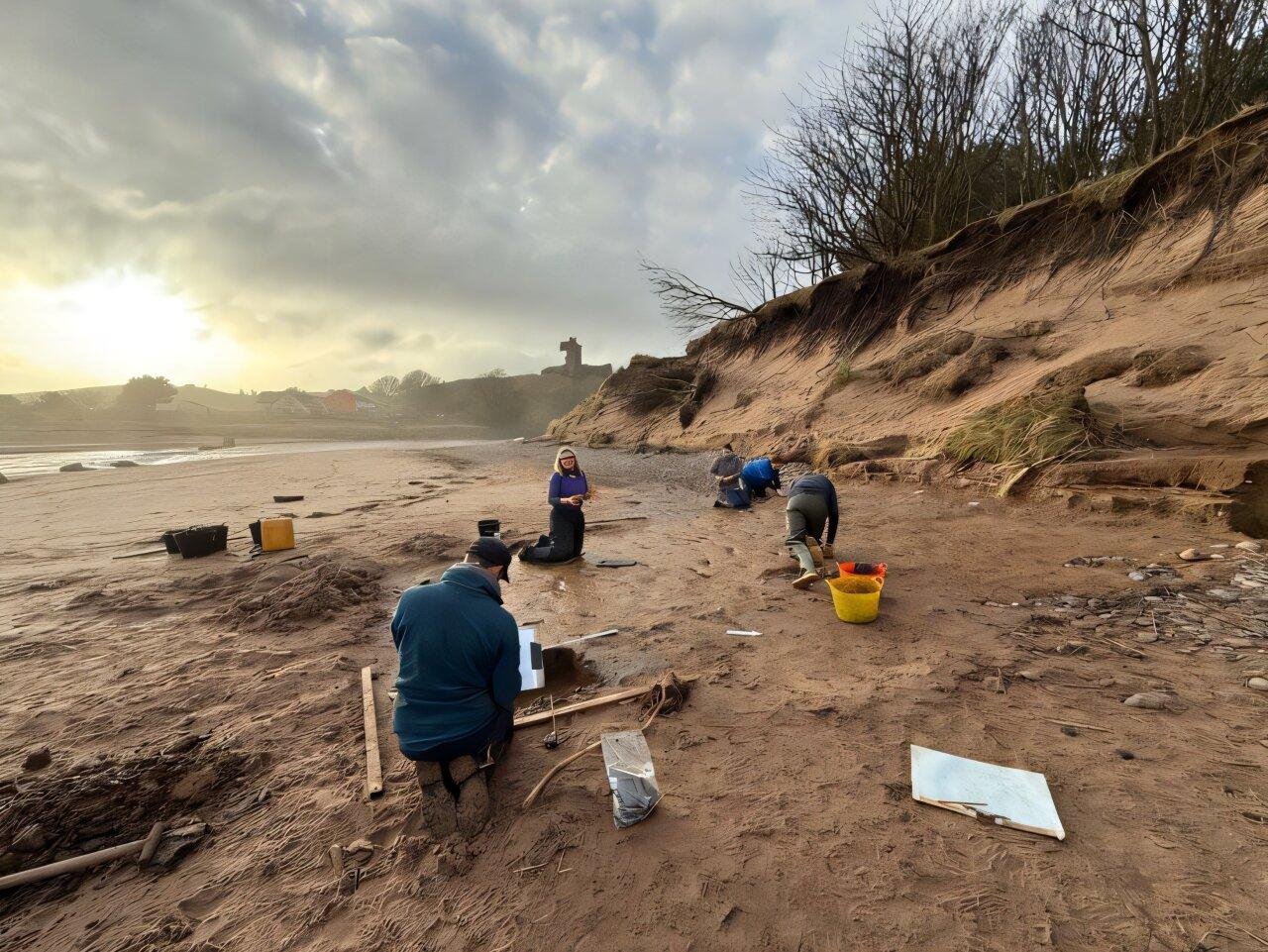
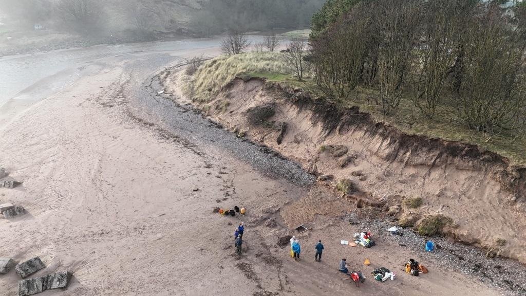
Ivor Campbell contacted regional archaeologist Bruce Mann on 26 January. By the next day, a team from the University of Aberdeen had reached the beach. They gathered equipment on the way, including plaster used to make casts, knowing the sea was already erasing parts of the site. Wind gusts topped 55 miles per hour. Sand blew across the clay, and waves tore at the edges with each tide.
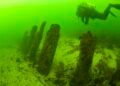
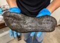
Professor Kate Britton and her colleagues worked quickly. They cleaned sections of the surface, mapped the positions of each print, and produced detailed 3D models using photography and drone footage. During brief periods of calmer weather, the drone flights captured overhead images with millimeter accuracy. The team also made physical casts of selected prints before the next high tide arrived. Within 48 hours, the exposed clay had vanished.
Back in the laboratory, researchers examined plant remains preserved in sediments beneath the footprints. Radiocarbon dating placed the activity around 2,000 years ago, during the late Iron Age. This was the period of Roman expansion into Britain and the centuries before the emergence of the Picts in eastern Scotland.
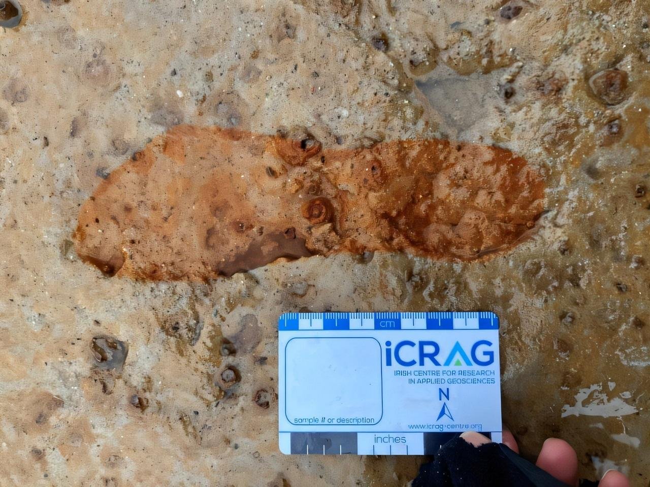
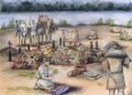
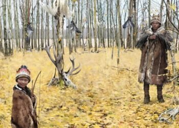
Analysis of the impressions identified red deer, roe deer, other animals, and several barefoot humans. The size and spacing of the human prints suggest adults and possibly younger individuals moved across the wet ground. The clay surface formed in what had once been a muddy estuary or salt marsh. Today, Lunan Bay is a wide sandy beach, but two millennia ago the area likely supported marsh plants and attracted grazing deer. People may have come to hunt, fish, or gather coastal plants such as samphire.
Sites of this kind are rare. Comparable footprint surfaces have been recorded at the Severn Estuary, Formby in Merseyside, and Happisburgh in Norfolk. No similar site had previously been documented in Scotland. The discovery adds direct evidence of human presence along the Angus coastline during the late Iron Age and shows how rapidly coastal landscapes have changed.
Bruce Mann praised the quick action of the two walkers who reported what they saw. Without their call, the prints would have disappeared unrecorded. The storm that revealed the clay also destroyed it within days.
The drone images now serve another purpose. Researchers plan to use them as a baseline to measure ongoing coastal erosion in the Montrose basin area. Rising sea levels and stronger winter storms continue to reshape the shoreline. Similar clay deposits lie buried under sand nearby. If exposed again, they could hold further traces of people and animals who crossed this coast two thousand years ago.
More information: University of Aberdeen


Disclaimer: This website is a science-focused magazine that welcomes both academic and non-academic audiences. Comments are written by users and may include personal opinions or unverified claims. They do not necessarily reflect the views of our editorial team or rely on scientific evidence.
Comment Policy: We kindly ask all commenters to engage respectfully. Comments that contain offensive, insulting, degrading, discriminatory, or racist content will be automatically removed.